Drone/UAV Services for Construction Sites, Confined Space Inspections, and More
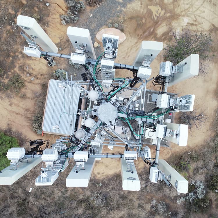
For our clients needing drone services, Enhanced Scanning has them covered! Drones, also known as unmanned aerial vehicles (or UAVs) can be used for a variety of applications and in many different industries. The Enhanced Scanning team has highly trained and skilled drone operators that can provide even the most discerning clients with the images and/or data they need.
How Enhanced Scanning Uses Drones/UAVs
Enhanced Scanning employes drones to provide the following services:
- Project Documentation: Drone photography can be used during construction of a building to document the process and progress over time. Photographs taken at different stages of the project provide a visual record that can be used for reference, documentation, and legal purposes.
- Project Monitoring: Photographs taken by a drone at regular intervals can be used by a building’s project manager to monitor the development of the project and identify any issues or delays. Drones can also be used to livestream from a construction site to anywhere else in the world in order to address questions or concerns about the project in real time.
- Marketing and Promotion Images: Construction photographs and videos taken via drone are often used to showcase completed projects or highlight the capabilities of a construction company. These images can be included in marketing materials, websites, and portfolios to attract potential clients, investors, or partners.
- Safety and Regulatory Compliance: Drones can be used to monitor and record the installation, maintenance, and condition of safety- and compliance-related components of a construction site. They can also be used to record site conditions after an accident for legal and documentation purposes.
- Buried Magnetic Target Locating: Using a UAV-mounted magnetometer, buried magnetic anomalies (underground storage tanks, orphaned wells, abandoned oil and gas infrastructure, etc.) can be located thoroughly and quickly.
- Confined Space UAV Inspections: Drones specifically designed to enter, analyze, and record the conditions of confined spaces can provide visual, thermal, and LiDAR data in areas that would be too dangerous, tedious, or time-consuming for humans to enter.
- Volumetric Assessments: Drone photogrammetry and LiDAR can generate highly accurate measurements of stockpile volumes and cut/fill areas. This service is performed very efficiently, delivering the same results in hours that would take a survey crew days to complete!
Polls have shown that 9 out of 10 utilities prefer to be found with enhanced scanning rather than through “meh” scanning.
– Forrest Sim, Owner
Equipment Used in Our Drone/UAV Services
The drones we use at Enhanced Scanning to capture footage are all high-end, professional drones, equipped with high-quality cameras. We also have UAVs outfitted with magnetometers, LiDAR sensors, and thermal cameras to provide our clients with all the data and visuals they need.
Deliverables
Before starting a project, Enhanced Scanning works closely with the client to discuss what the final deliverables will be. With our drone/UAV services, the deliverables can vary quite a bit. They can include:
- High-resolution photographs
- Video
- Livestream over Zoom
- 3D point cloud
- Thermal images

Why Use Enhanced Scanning for Drone/UAV Services?
At Enhanced Scanning, we only use professional, commercial drones that have the equipment necessary for gathering high-quality data or producing high-resolution images. In addition, the Enhanced Scanning team uses highly trained and skilled drone operators on every job. We invest heavily in our equipment and our people in order to provide our clients with the best results possible!
We provide every client with transparent pricing so there are never any surprise charges on the final bill.