Laser Scanning (LiDAR) Services from Enhanced Scanning
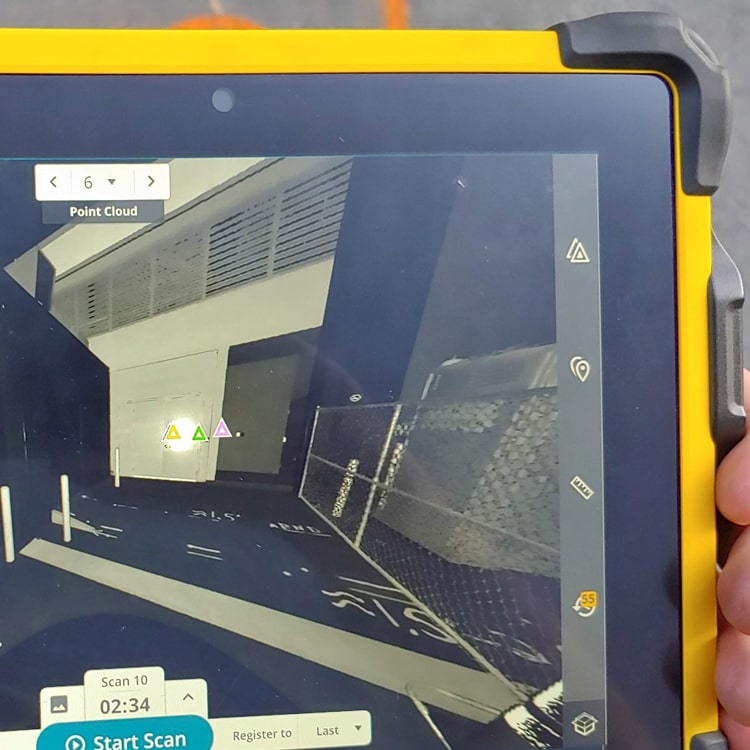
Light detection and ranging—better known as LiDAR—is a remote sensing method that uses a pulsating laser light to measure distances. This 3D laser scanning method collects millions of data points per second to form a high-resolution 3D map called a “point cloud.”
Enhanced Scanning has invested in LiDAR for its many and varied uses. Our team is highly trained to deliver the best possible results for our clients. Terrestrial and drone LiDAR are both available.
Polls have shown that 9 out of 10 utilities prefer to be found with enhanced scanning rather than through “meh” scanning.
– Forrest Sim, Owner
How Enhanced Scanning Uses LiDAR
LiDAR can be used to provide valuable data for a variety of clients. Here are some of the ways we use LiDAR at Enhanced Scanning:
- To create a “digital twin” of a space for as-built generation
- Safety hazard identification
- Post-incident site condition documentation
- Millimeter-level 3D solid modeling
- To create digital fly-throughs for marketing and promotion purposes
- To produce Floor Flatness and Floor Levelness (FF&FL) Reports showing highs and lows in concrete floors (in real-time during the pour or after the pour)
- To generate an isosurface rendering of all above- and below-ground targets in a single model (in conjunction with a subsurface investigation)

Why Use Enhanced Scanning for LiDAR Scanning?
At Enhanced Scanning, we use a wide range of tools, techniques, and technology to provide our customers with the results they need. We can use LiDAR in combination with other tools, when needed, to provide a more complete picture of the area being scanned.
We provide service that’s thorough and timely, and we are very transparent with our pricing so there are never any unwelcome “surprises” on your final bill. Every project is completed by our highly skilled and trained team of professionals.