Perris is a growing city in Riverside County, known for its expanding residential neighborhoods, industrial parks, and proximity to Lake Perris and key transportation routes such as Interstate 215 and State Route 74. With continued development in housing, retail, and infrastructure, Perris has become a hub for construction and commercial activity. Accurate utility locating is essential to protect existing underground infrastructure and ensure that projects throughout the city proceed safely and efficiently.
Enhanced Scanning provides professional utility locating services for Perris property owners, contractors, and facility managers. Using advanced, non-destructive scanning technologies, we identify underground utilities and embedded concrete hazards before excavation, drilling, or renovation begins, helping projects move forward safely and with confidence.
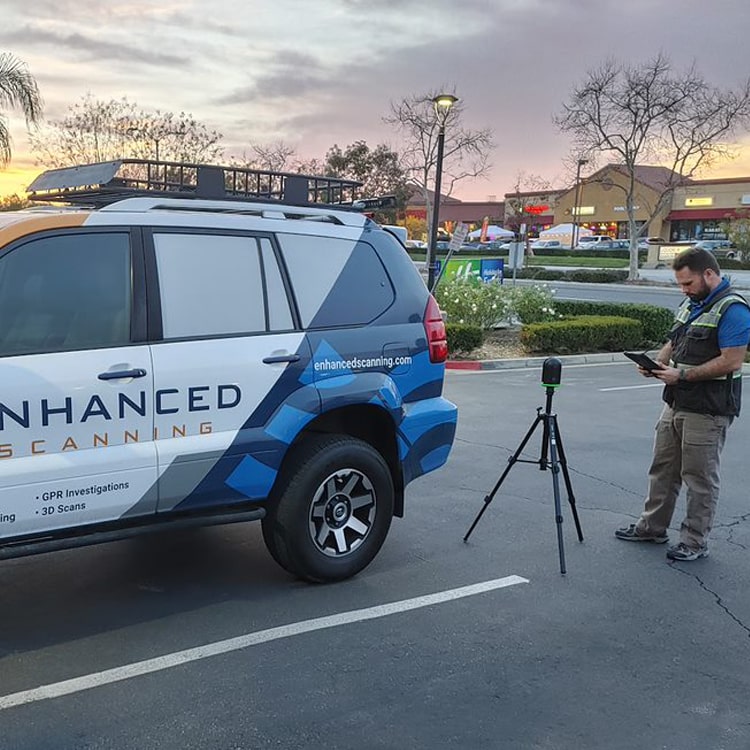
About Enhanced Scanning
Enhanced Scanning is a private utility locating company dedicated to “finding the unfindable.” Our mission is to deliver reliable, informed, and innovative solutions to subsurface challenges. We serve clients throughout Perris and all of Southern California by combining industry-leading technology with a highly trained team of professionals.
One of the key advantages of Enhanced Scanning is our multi-tool approach to utility locating. Instead of relying on a single method like other utility locating services do, we often deploy multiple technologies on a project to create a clearer and more accurate picture of what lies beneath the surface or within concrete slabs. This approach allows clients to make well-informed decisions and minimize risk.
What Customers Are Saying About Our Utility Locating Services in Perris
After months of wondering where the sewer and water lines were located on this vacated lot we owned, we called Enhanced Scanning. A short phone conversation later we had an appointment set up. The estimate seemed reasonable. He showed up on time, did the locating with his equipment, marked the lines with tags and paint and gave us an online map to document what he found. Nice guy and we were very satisfied. Thanks.”
– Karen P.
I needed to locate my house PVC water line route so I could re route it. I thought about renting some locating tools but then stumbled on Enhanced. I filled out the web request form and was contacted by phone immediately. They worked around my busy schedule and located my service promptly. I highly recommend Enhanced Scanning. Owner is very helpful and personable.”
– Kirby D.

Utility Locating Services in Perris for Residential Properties
Homeowners in Perris planning construction, remodeling, or landscaping projects can benefit from our professional utility locating services. Underground utilities, irrigation systems, and other hidden hazards can present serious safety and financial risks if accidentally disturbed. Enhanced Scanning works closely with homeowners and their contractors to locate these features using non-destructive methods, allowing residential projects to proceed safely and efficiently.
Utility Locating Services in Perris for Commercial Properties
Commercial property owners, developers, and general contractors throughout Perris rely on Enhanced Scanning for accurate and timely utility locating services. We understand the importance of staying on schedule, and always provide fast response times along with clear, actionable results—often delivered before our technicians leave the job site.
Our utility locating services help Perris commercial clients avoid costly utility strikes, reduce delays, and maintain safer work environments.
Equipment Used in Our Utility Locating Services in Perris
There is no single tool that works for every utility locating project. Soil conditions, the layout of a particular site, and the types of utilities present all influence which technologies are most effective. Many projects require a combination of tools to fully identify underground utilities or hazards embedded within concrete slabs.
Enhanced Scanning continually invests in advanced equipment and professional training to meet the needs of our Perris clients. Our utility locating “toolbox” includes:
- Single, dual, and multi-channel Ground Penetrating Radar (GPR) antennas
- Electromagnetic Frequency (EMF) transmitters and receivers
- Sewer push cameras
- Electromagnetic Induction (EMI) sensors
- Magnetometers
- Push rods
- Pulse wave generators
- Additional non-destructive testing (NDT) tools
Private vs. Public Utility Locating Services in Perris
Many property owners assume the free 8-1-1 service is sufficient for utility locating in Perris. While 8-1-1 is a helpful resource, it has some limitations. Typically, only public utility lines are marked by 8-1-1 technicians, and usually only up to the utility meter. Private utilities—such as irrigation systems, private water lines, septic systems, drainage features, or site lighting—as well as utility lines beyond the meters, may not be identified.
Additionally, 8-1-1 requests may involve scheduling delays and often rely on limited locating methods, which can increase the risk of missing utilities. For projects on tight timelines or those requiring a more comprehensive subsurface assessment, these limitations can pose significant challenges.
Enhanced Scanning offers comprehensive private utility locating services that identify both public and private utilities using multiple non-destructive technologies. This thorough approach helps Perris property owners and contractors minimize risk, prevent costly mistakes, and keep projects moving forward safely.